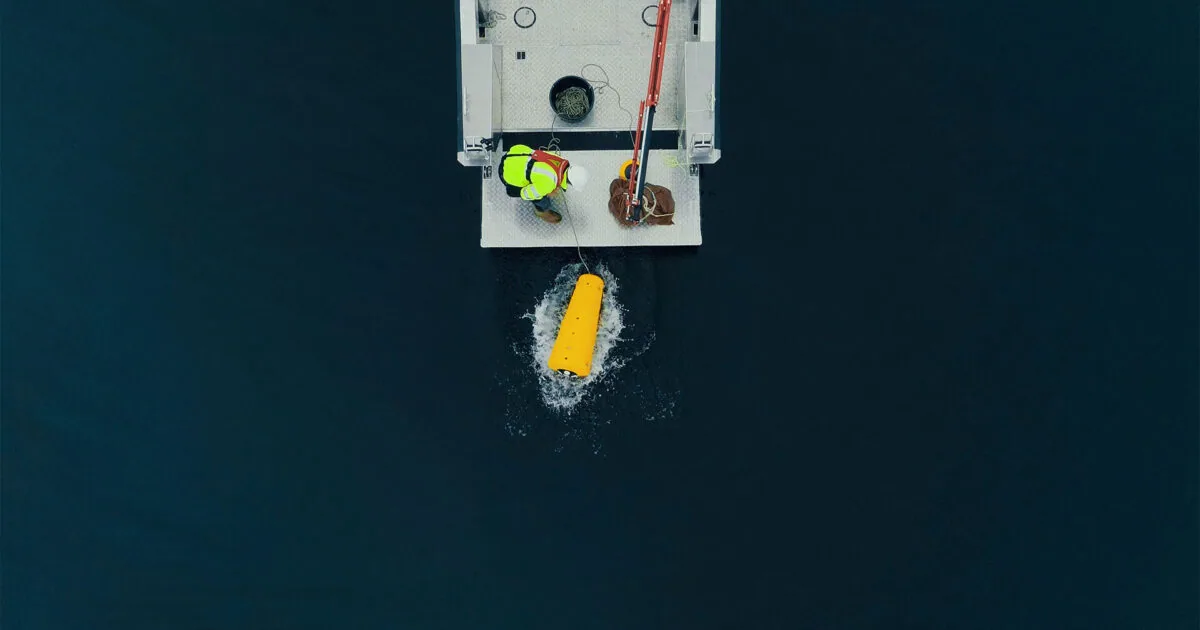
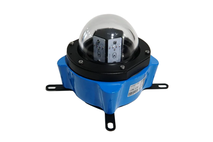
The traditional way to measure waves is a buoy, and everything difficult about wave
measurement follows from that. A buoy has to be deployed and recovered by vessel, serviced on
station, and it is exposed to being run down, dragged off position or lost in the storm whose
sea state you most wanted to record. It also measures where it is moored, not where your
structure is.
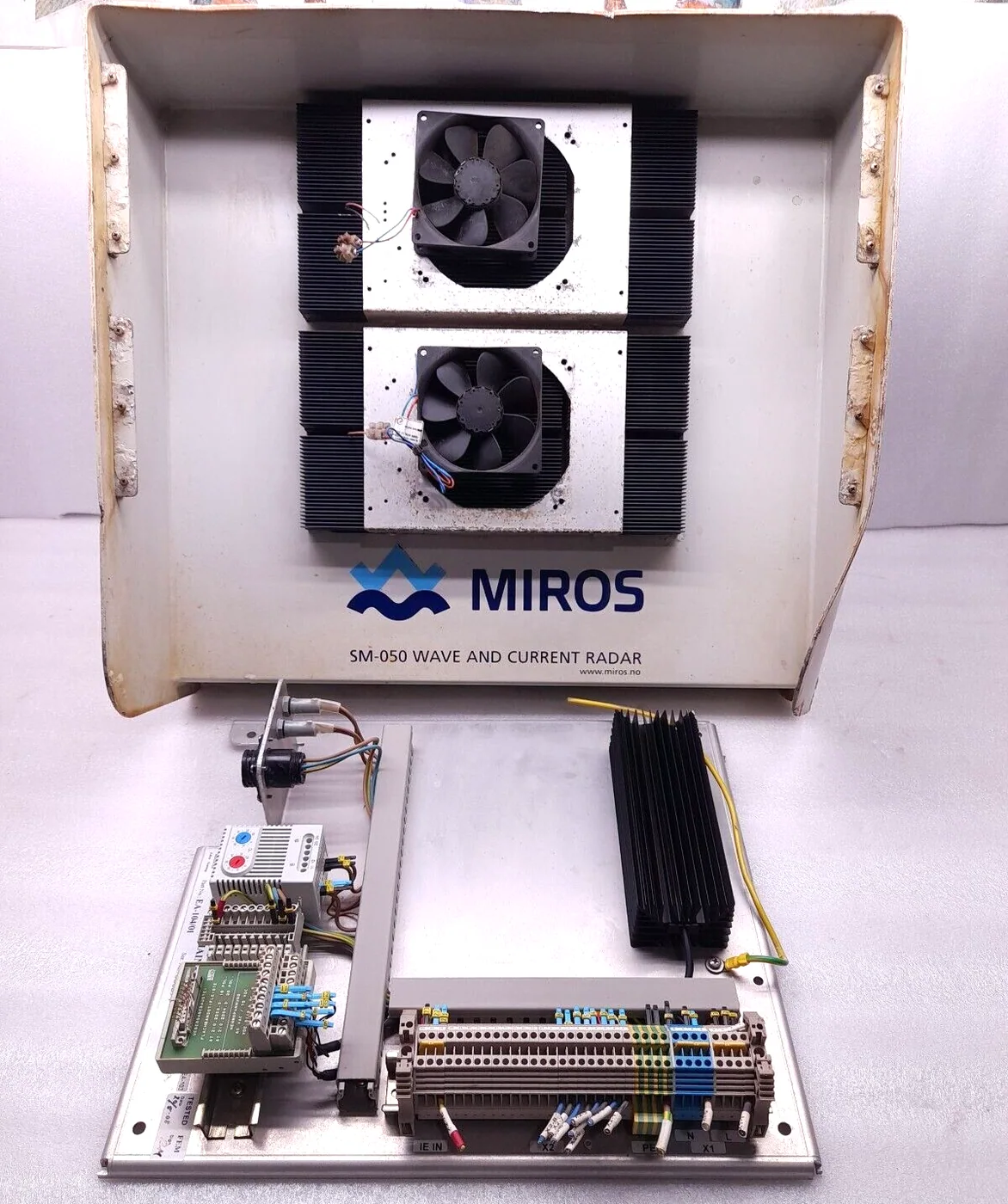
Miros took the opposite approach. The Wave and Current Radar is dry-mounted - fixed to the
structure, looking down at the sea surface - and Miros describe it as the first wave
buoy-replacing, dry-mounted sensor providing accurate and maintenance-free sea state
measurements. Nothing is in the water. There is no deployment vessel, no mooring, no
biofouling, no recovery, and no regular maintenance on location with the costs that a buoy
brings. The measurement is also taken where the structure is, which is where the operational
decisions are being made.
The measurement principles are specific and Miros claim them as unique. Waves are measured
by a dual-footprint pulse Doppler method, and surface currents by a microwave dual frequency
method. The distinction they draw is against X-band radar based wave monitoring, which infers
sea state from the pattern of clutter in a navigation radar image. That approach reuses existing
hardware but is an indirect inference; Miros state the SM-050 was especially developed for sea
state monitoring, which makes it superior to X-band-based systems. If the wave data is going into
an operational decision - a lift, a boat transfer, a riser fatigue assessment - the difference
between a purpose-built sensor and an inference from radar clutter is worth paying for.
Directional wave spectra rather than wave height alone is the other point of substance. A
significant wave height on its own does not tell you whether a vessel alongside will be
comfortable; direction and period do, and a swell running across a wind sea behaves differently
again. A directional spectrum describes how the energy is distributed across both frequency and
direction, which is what a motion or mooring analysis actually needs.
Miros note the radar has proven its ruggedness and reliability through many years of service
in extreme weather conditions including heavy precipitation, all over the world - precipitation
being the condition that troubles microwave sensors most, since rain on the sea surface scatters
in its own right. Data is accessible both locally and remotely using modern IoT technologies, so
the sea state can reach an onshore operations centre as readily as the platform's own control
room. Miros position it for the oil and gas industry and for the ports and coastal community
making decisions on real-time ocean surface information.

 1 / 2